
Water Resource Management – Water Quality
Water Resource Management
We build the capacity of individuals, organizations, and communities to improve surface water and groundwater quality through research, science-based education, collaborative conservation, and stewardship. Educators, specialists, and affiliated faculty work with local and state partners to promote land stewardship, including adoption of best management practices, to maintain healthy waters and improve those that are impaired.
By Topic
Explore the different ways we support water resource management throughout the state
Water Quality Monitoring and Research
We promote protection of Wisconsin’s water resources through testing, monitoring, and mapping.
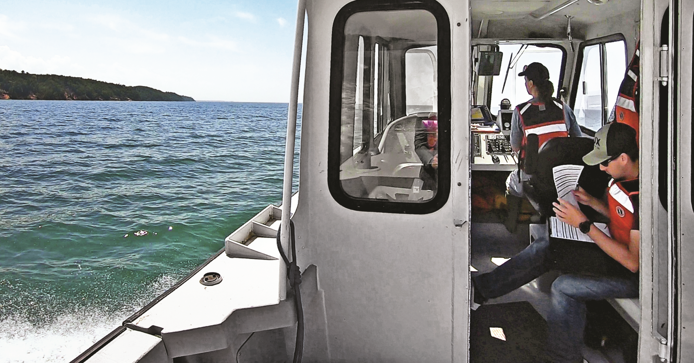
Lake Superior Reserve Research and Monitoring
The Lake Superior Reserve conducts basic and applied scientific research in partnership with scientists from universities and public agencies. Current research focuses on water quality, terrestrial and wetland ecology, invasive species, estuarine processes, and drivers of change in the context of climate change and human activity in coastal systems. This work informs the management and restoration of the land and waters in the region.
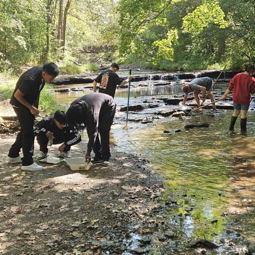
Water Action Volunteers
Over 500 volunteers collect and submit valuable data each year to the Wisconsin DNR’s Surface Water Integrated Monitoring System database. These data inform decisions about the protection and restoration of Wisconsin’s wadeable streams and rivers.
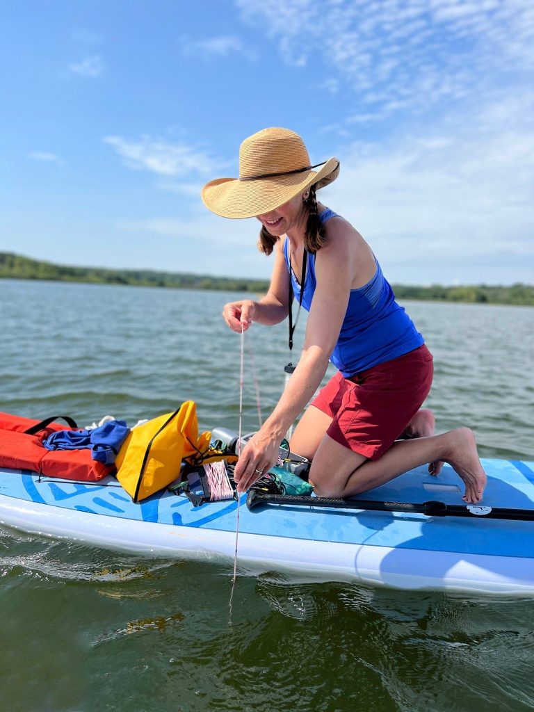
Citizen Lake Monitoring Network
The Citizen Lake Monitoring Network connects 1,000+ citizen volunteers statewide with the Wisconsin Lakes Partnership. The program collects high-quality lake monitoring data, educates and empowers volunteers, and shares data to inform lake management.
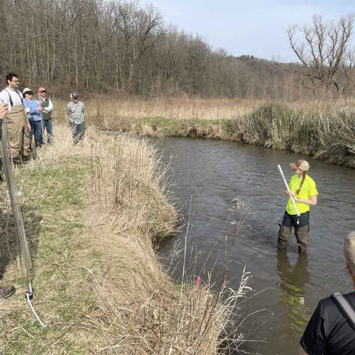
UW-Green Bay Lower Fox River Monitoring Program
Through this program, a network of teachers and students from high schools in northeastern Wisconsin collaborate with university scientists to monitor seven environmentally impaired streams in the Fox River watershed for water quality and ecological health. These data can be used to measure pollution that contributes to the “dead zone” in Green Bay, informing long-term trends and restoration efforts.
Featured Resources
The Wisconsin Geological and Natural History Survey has completed an inventory of springs in Wisconsin. The map shows the locations of the springs that we surveyed — more than 400 total. The inventory includes all known springs in Wisconsin that discharge approximately 110 gallons per minute and higher. These are large springs, capable of filling roughly two bathtubs in under a minute.
Public water systems are required to submit yearly nitrate samples to the Wisconsin DNR. The Center for Watershed Science and Education’s interactive dashboard assists in analyzing and viewing historical data for public water systems in Wisconsin to better understand nitrate trends locally and statewide.