
Earth Sciences – Groundwater
Earth Sciences
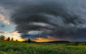
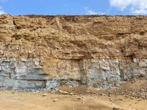
We conduct research on Wisconsin’s climate, geology, mineral resources, and water resources, and share these findings through publications, technical talks, and outreach. This work provides information for all Wisconsinites to use for decision-making, problem-solving, planning, management, development, and education.
By Topic
Explore the different ways we support earth science programming throughout the state
Groundwater Research and Monitoring
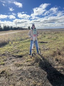
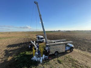
We research, monitor, and inventory groundwater resources, enabling decision-makers to evaluate the effects of well pumping, the response of groundwater levels to drought or increased precipitation, and the effects of land-use change on groundwater resources.
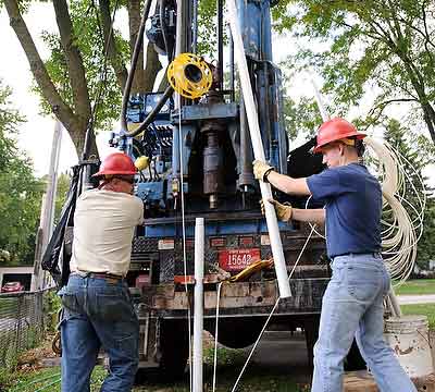
Wisconsin Groundwater-Level Monitoring Network
The Wisconsin Groundwater-Level Monitoring Network consists of roughly 100 long-term monitoring wells, plus dozens of project-funded wells that are monitored for specific groundwater studies. The network provides a consistent, high-quality record of water-level fluctuations in both shallow and deep aquifers across the state.
Featured Resources
The Wisconsin Geological and Natural History Survey has water-table elevation maps and a suite of groundwater maps with information such as depth to the water table, groundwater recharge rates, and groundwater susceptibility to contamination.
The Wisconsin Geological and Natural History Survey provides information on depth to groundwater, depth to bedrock, bedrock geology, hydrogeology, water quality, and more to help natural resource managers and county staff make informed decisions when it comes to managing and protecting groundwater.
The Wisconsin Geological and Natural History Survey has 24 groundwater flow models. Some are three-dimensional, using state-of-the-art representation of the hydrogeology, and all provide scientific analysis of water resources used to respond to requests for information about specific groundwater and land use issues.