
Earth Sciences – Geological Mapping
Earth Sciences
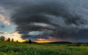
We conduct research on Wisconsin’s climate, geology, mineral resources, and water resources, and share these findings through publications, technical talks, and outreach. This work provides information for all Wisconsinites to use for decision-making, problem-solving, planning, management, development, and education.
By Topic
Explore the different ways we support earth science programming throughout the state
Geological Research and Mapping
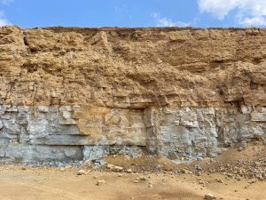
We conduct applied and basic research on the geology and mineral resources of Wisconsin in support of informed decision-making by state, local, and Tribal governments, industry, business leaders, and all residents of Wisconsin.
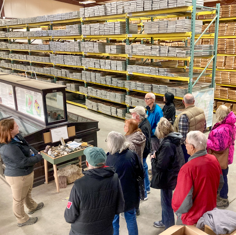
Core Repository, Research and Education Center
Officially known as the Wisconsin Geological and Natural History Survey Research Collections and Education Center, the core repository houses rock samples from across Wisconsin: 11,335 sets of water-well cuttings, 15,000 hand samples, and 57,000 boxes of core. These collections are essential to improving our scientific understanding of the geology and natural resources of the state of Wisconsin.
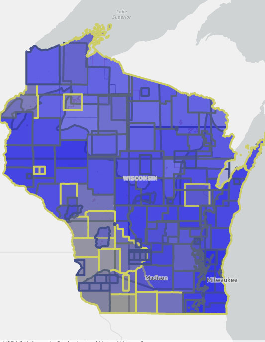
Wisconsin Geological and Natural History Survey Mapping Portal
The Wisconsin Geological and Natural History Survey has published hundreds of maps and other resources that are critical to the work of local and county conservation and land use planners, state agencies, and researchers, and also help to inform the public. The Mapping Status Portal makes these publications findable.

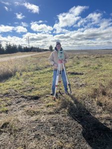
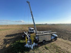
Wisconsin Geological and Natural History Survey Research
The Wisconsin Geological and Natural History Survey provides natural resource managers — such as land and water conservationists, county boards, and water utilities — with the information they need to protect and share their resources. This work also helps us understand geologic processes, past and current, provide the locations of resources, and inform decisions about water resources across much of Wisconsin.
Featured Resources
Explore nearly 800 publications from Wisconsin Geological and Natural History Survey researchers, including reports, maps, journal articles, and more.
The Wisconsin Geological and Natural History Survey has GIS digital datasets derived from published maps, rock properties, and geologic logs, as well as a database of grain-size analyses on unlithified sediment samples and the wiscLITH database from 45,000 paper records of rock types encountered during well drilling.